Parks are vital for health and wellbeing yet fear of violence means many women and girls feel unable to use them freely. In Britain, one in six women feel unsafe in parks during the day, rising to four in five after dark (ONS, 2022), leading many to avoid them at night, restricting their movement and limiting their independence and participation in public life. To address this, an inter-disciplinary collaboration has been established at the University of Leeds, bringing together colleagues in Law, Geography, and Research Computing as part of The Safer Parks Dashboard project.
This project builds on existing research and partnerships. Guidance developed collaboratively by the University of Leeds, West Yorkshire Combined Authority, Keep Britain Tidy, and Make Space for Girls draws on findings by Dr Anna Barker in the School of Law (Barker et al., 2022) to present actionable recommendations for improving park safety for women and girls. Now embedded in both the Green Flag Award and Secured by Design initiative, this guidance is actively shaping how community parks are designed and maintained.
However, the challenge of scale still exists: Leeds City Council manages approximately 4,000 hectares of green space across more than 65 parks. Across the entire West Yorkshire Combined Authority, performing in-depth manual analysis of all greenspaces in accordance with the guidelines would be a daunting task!
The Safer Parks Dashboard directly addresses this problem. It’s a web-based interactive spatial data tool designed to help local authorities, police forces, and community partners understand the environmental and social factors that shape how safe women and girls feel in parks. The dashboard consolidates data across over a thousand greenspaces, including all local authority managed parks.
What is The Safer Parks Dashboard?
The dashboard brings together both open spatial data sets including lighting, path networks, and park features, and calculated datasets (based on open data such as DEFRA LiDAR point clouds) including visibility analysis and predicted route popularity (via network analysis)—all in one place, presented clearly and accessibly.

The tool directly supports the implementation of the Safer Parks: Improving Access for Women and Girls guidance, giving practitioners a solid framework to support better park design, management, and crime prevention activity. Rather than presenting a single answer, it invites users to explore the data, identify patterns, and make better-informed decisions for their local context; this design approach was honed over iterative co-design sessions with WYCA, local authority parks teams, West Yorkshire Police, and other interested parties.
Why this project matters
Park safety for women and girls is a public health, equity, design, and urban planning issue with real policy implications, detailed in the written evidence the team submitted to parliament.
Tools that help decision-makers move from research results to actionable insights have the potential to shape infrastructure investment, planning guidance, and policing priorities at local and national scale. This work will influence how parks are designed and managed across the country: as mentioned above, the Safer Parks guidance is already now included in both the Green Flag Award and Secured by Design initiative on a national scale, and the dashboard provides a means to plan park development, maintenance, staffing, and policing in line with these guidelines. The dashboard is currently being used by councils across WYCA for planning park maintenance for the coming months.
The dashboard has been presented and tested over a series of workshops with members from: West Yorkshire Combined Authority, West Yorkshire Violence Reduction Partnership, West Yorkshire Police, Leeds City Council, Calderdale Council, City of Bradford Metropolitan District Council, Kirklees Council, Wakefield Council, Police Crime Prevention Initiatives, Keep Britain Tidy/Green Flag Award, and the ESRC Vulnerability & Policing Futures Research Centre. This engagement demonstrates the tool’s relevance to practitioners and positions it to influence real-world decision-making about park safety.
How we worked together
At the University of Leeds Research Software Engineering (RSE) team, we work alongside researchers to turn ideas and data into robust, usable software. A key aspect of this project’s success was early RSE involvement from the pre-grant stage.
Maeve’s work extended far beyond building a digital interface. Thanks to her technical expertise and commitment to user-centred design, the Safer Parks Dashboard is already being used on the ground and is built to support long-term impact. – Dr Anna Barker
Rather than arriving at the end to “build the thing,” Maeve was part of conversations from the grant proposal stage, helping to shape what the tool needed to do, what data was available, and how it could realistically be built and maintained.
This kind of upstream engagement matters enormously. When RSEs are brought in late (after requirements have been locked down, a technology has been committed to, or a delivery timeline is already tight), there’s limited room to make the right technical choices. Early involvement means we can:
- Ask the right questions about who the users are and what decisions the tool needs to support, before a line of code is written.
- Advise on data and architecture choices that will hold up at scale and over time, not just for a demo.
- Build sustainably, with documentation, testing, and open-source practices baked in from the start rather than bolted on at the end.
- Iterate with researchers, rather than simply executing a specification, which almost always leads to a better outcome.
Maeve’s role went beyond building a website: it included assessing and integrating multiple open datasets, developing data processing workflows, implementing spatial analysis models for visibility and accessibility, and co-facilitating workshops with police forces and local authorities to ensure the tool met real-world needs.
The result is a tool that is already in the hands of real users, being refined based on their feedback, and built to a standard that supports long-term use and reproducibility.
Project team
- Dr Anna Barker
- Dr Fran Pontin
- Dr Maeve Murphy Quinlan (Research Computing RSE)
- Dr Vikki Houlden
- Dr Melissa Barrientos
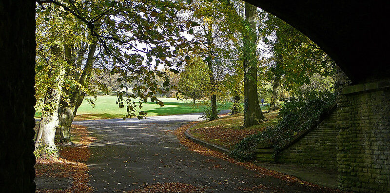
Cover image: Tim Green, CC BY 2.0
Ready to discuss your project?
If you’re a researcher at Leeds with a project that involves data, analysis, or software, whether you’re just starting to think about funding, or already mid-project, we’d love to hear from you. The Safer Parks Dashboard is a good example of what’s possible when research ambition and software engineering expertise come together early.
To discuss your project, log a Research Computing Query and we’ll help you figure out next steps.
The earlier you get in touch, the more we can help.